Indiana Michigan River Valley Trail Celebration and Grand Opening
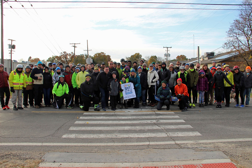
View or print the flyer! That event took place on Saturday, November 9, 2019 at 9:00 am. It was a traveling celebration of decades of work to complete 17 miles of trail or 34 miles round trip connecting Mishawaka, South Bend, and Niles.
Get the most up-to-date information by Liking The Friends of the IN MI River Valley Trail on Facebook. www.Facebook.com/FriendsoftheIMRVTrail
Overview
The Indiana-Michigan River Valley Trail partners created a 17-mile trail connecting Niles, MI to Mishawaka, IN. The completed trail is used by commuters, students, families and tourists. The trail connects people to:
- 4 universities and several schools
- 4 downtown's (Niles, Roseland, South Bend and Mishawaka)
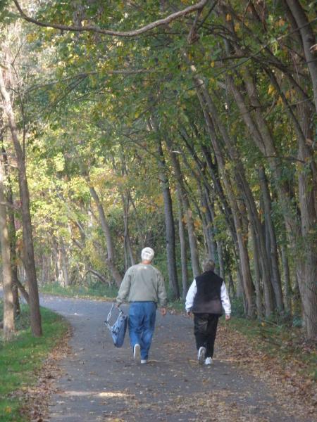
- 16 parks and 2 YMCA's
- 5 hospitals or major medical facilities
- Several historical and cultural attractions
- Businesses offering eating, lodging and shopping
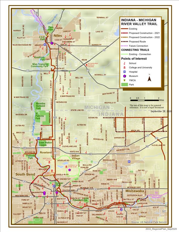
IN MI River Valley Trail Map (download pdf file)
View the proposed northern route of the Indiana Michigan River Valley Trail from Niles to Berrien Springs view the map here!
Only a few segments are needed to complete the 17-mile trail system! Go to Google Maps - Bicycling for a detailed map of existing trails.
For a more detailed map of the trail in South Bend area, click here to view or print a PDF map!
Update on Progress
Constructed since 2008
- Mishawaka’s 6-mile downtown trail loop along the St. Joseph River
- The extension of the East Bank Trail through IUSB
- South Bend’s 2.5 mile Riverside Trail
- St. Joseph County’s Darden Road Trail
- New sidewalks along 933 between the East Bank Trail and Roseland Trail
- 2.25 miles of trail through the city of Niles
- 1.1 miles of Northside Trails through River Park, connecting the South Bend and Mishawaka trail systems
- Approximately 4.5 miles of connecting off-road trail around the University of Notre Dame and along SR 23
- 3.3 miles of Niles Township Trails north from the IN/MI State Line Click here to view the funding sources
- Mishawaka’s extension of their downtown trails towards Merrifield Park.
- Niles Township completed the Phase II to connect Brandywine Creek Nature Park to the Niles City trail at Fort Street and the City of Niles completed the trailhead at the Lakeland Health campus. There projected were both funded by the MDNR Natural Resources Trust Fund.
-
A segment between Angela Blvd and the 80 Toll Rd entrance was completed.
-
A new paved connection running north from the IMRVT at Darden Rd along Laurel Rd up to Brick Rd connecting Clay Park to the IMRVT.
Trail Development Overview
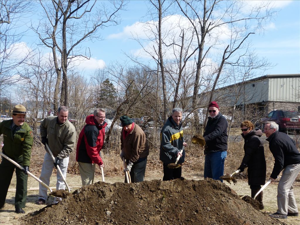
A large number of supporters turned out on August 9th, 2014 to cut the ribbon and open a new 3.3 mile section of the Indiana Michigan River Valley Trail. Click here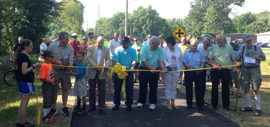 to view the flyer! The new trail section is complete from the Indiana State line to Brandywine creek Nature Park (just north of US 12). The section represents Phase one for Niles Township of the 34-miles trail from Niles, MI to Mishawaka, IN. The Trail will help link communities together, help promote tourism, and provide a great recreation opportunity.
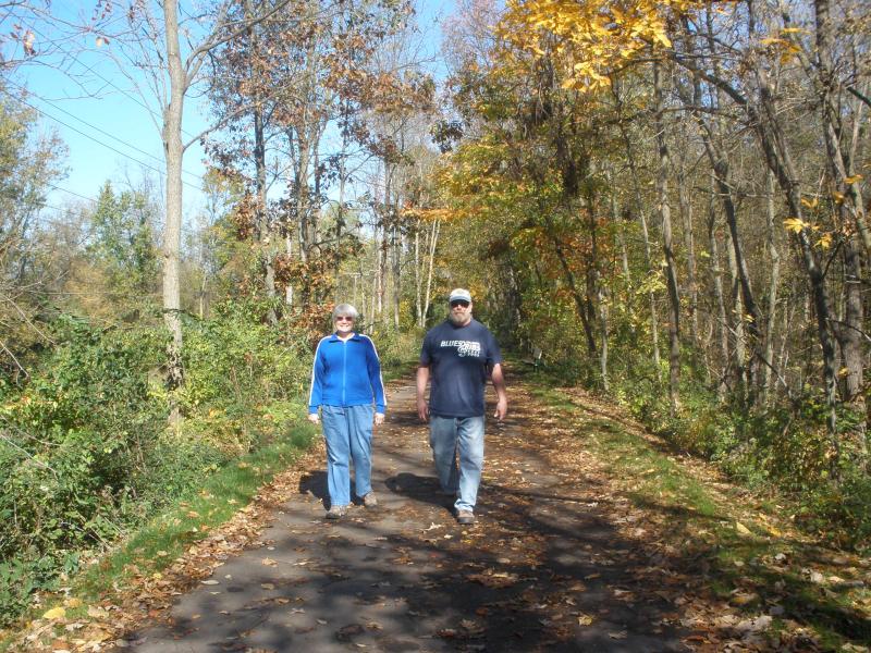
In 2010, the City of Niles completed 2.25 miles of trail from Plym Park to 3rd/Fort Street. In 2014, the City partnered with the County Health Department to install ten fitness stations along the trail.
Future efforts will include connecting to Buchanan and Berrien Springs in Michigan. In Indiana, connections will be made to Elkhart and the Pumpkinvine Trail.
PARTNERS
Several organizations and agencies support the completion of this trail.
- Bike Michiana Coalition
- Bike The Bend, Inc.
- Berrien County Parks, Michigan
- City of Niles, Michigan
- City of Mishawaka, Indiana
- City of South Bend, Indiana
- Indiana Department of Transportation
- Michiana Area Council of Governments
- Michigan Department of Transportation
- Michigan Trails and Greenways Alliance
- Michiana Watershed
- National Park Service, Rivers, Trails and Conservation Assistance Program
- Niles Charter Township, Michigan
- Southwest Michigan Planning Commission
- St. Joseph County Parks, Indiana
- Town of Roseland, IN Parks and Recreation
- Community open house for Niles to Berrien Spring
- Sept 25th open house set for trail project
- Trail between Niles, Berrien Springs taking shape
- Berrien County dreams of trails, like a link from Niles to Berrien Springs
-
Indiana-Michigan trail construction expected to begin in 2018
- View a video and press release: Massive bike, pedestrian trail connecting Niles to Mishawaka making progress
- New fishing platform, gathering space part of proposal to expand Niles trail
- Phase 2 trail work in Niles Twp. dependent on grants
- Niles Township approves prep work for River Valley Trail from Leader Publications
- "Officials break ground on River Valley recreational trail in Niles Township."
- Officials tout benefits of bi-state project's newest link
- Work continues on path to Niles
- Niles trail awarded from Asphalt Pavement Association of Michigan
- Presentations about the Indiana Michigan River Valley Trail
*Some of these files are large and may require a high speed connection to download. If you do not have the newest version of Adobe Reader click here to download.
Follow Us